
What is OpenUtilities Analysis?
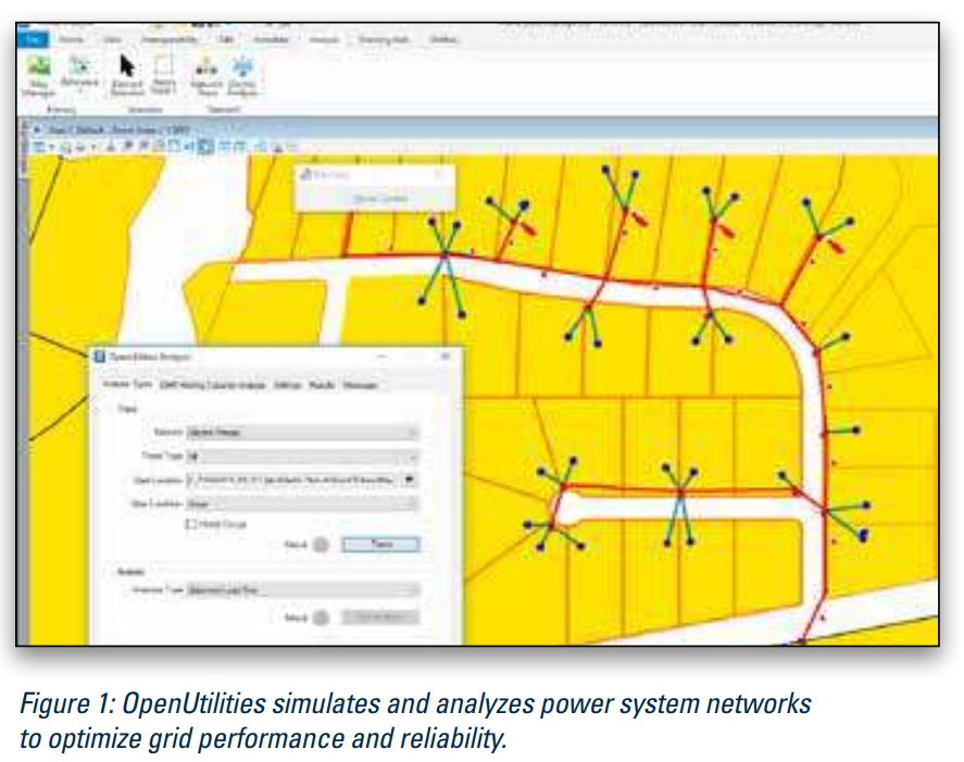
OpenUtilities Analysis (Powered by Siemens’ PSS®SINCAL) enables you to forecast and model the grid for decentralized energy without disrupting current operations. This situation means accurate forecasting, state-of-the-art models, and the ability to study many scenarios. It helps streamline the DER approval process with efficient and accurate impact analysis to optimize power flow and mitigate risks.
The software enables you to work in an environment that integrates power systems analysis capabilities with geographic information system (GIS) capabilities. Evaluating distribution grid performance models means accurate forecasting and the ability to study many scenarios. With Bentley and Siemens, you get a highly dynamic mode of analysis where network models are always up to date.
Power planning engineers need the capacity to work in an environment that integrates power systems analysis capabilities with geographic information system (GIS) capabilities. The Siemens/Bentley collaboration creates a complete solution, enabling power planning engineers to work directly within the GIS for rapid assessments and validations tailored to power planning workflows for the modern grid accommodating DER in a constantly changing environment. The solution operates within a connected data environment, a common platform that uniquely converges engineering disciplines, asset types, and lifecycle processes.
Extensive growth of DER on the power system has fundamentally changed the operation and planning of the power grid. OpenUtilities Analysis addresses DER integration challenges. The OpenUtilities Analysis framework enables planning engineers to perform simulations to investigate DER integration and provide solutions in terms of capacity, connections, compliance, load, and even security. Using network models, DER loading can be added and calculations can be run to determine success in each workflow. This results in cost savings from automated assessments and creates complete and qualitative documentation.
Calculation methods used for DER planning, designing, and managing operations in electricity transmission and distribution networks can be quite complex and time intensive. OpenUtilities Analysis reduces the amount of manual work required at each step of the analysis. Relying on a simplified or detailed model of the installation, the module allows the creation of various study cases by combining system loading conditions with minimum and maximum DER contributions all defined as simulation parameters. Controlled load flow analyses are then executed on each scenario to assess the impacts on the system.
OpenUtilities Analysis enables interoperability with Esri ArcGIS and GE Smallworld to adapt to different data formats. By being GIS independent, OpenUtilities Analysis provides abundant flexibility, improves productivity, and expands data analysis capabilities.
OpenUtilities Analysis leverages the connected data environment, a cloudprovisioned open framework for collaboration and asset information management throughout the lifecycle of utilities infrastructure. Ensure accuracy and availability of documents and data at every stage of the asset lifecycle, allowing faster project start-up, streamlining of workflows, adherence to standards, reduction of risk, more informed decisions, and increased asset performance.
OpenUtilities Analysis At-A-Glance
Siemens’ PSS®SINCAL Integration:
• Off the shelf solution that provides an electric network
data model
• Configurable to local and company standards
• Multiple sets of characteristics can be configured
to support multiple standards
• Fully configurable and customizable with .NET languages
and VBA
• Simple user interface
Basic Calculations:
• Static load flow
• Time-series (balanced and unbalanced)
• Short circuit
GIS Capabilities:
• Supports a wide range of geospatial coordinate systems
• Buffers and overlays
• Joins
• Thematic resymbolization
• Dynamic labeling
• Query builder (search by)
Integration of GIS and Spatial Databases:
• Interoperability with various GIS data stores supports
network information within a common data environment
• Supports ESRI, GE Smallworld, etc.
• Oracle Spatial/Locator and SQL Server Spatial compliant
Engineering-precision Edits:
• MicroStation® (Power Platform) for a precision
engineering environment
• Raster management
• Display priority and transparency
• Smart, quick drawing and editing of utility network data
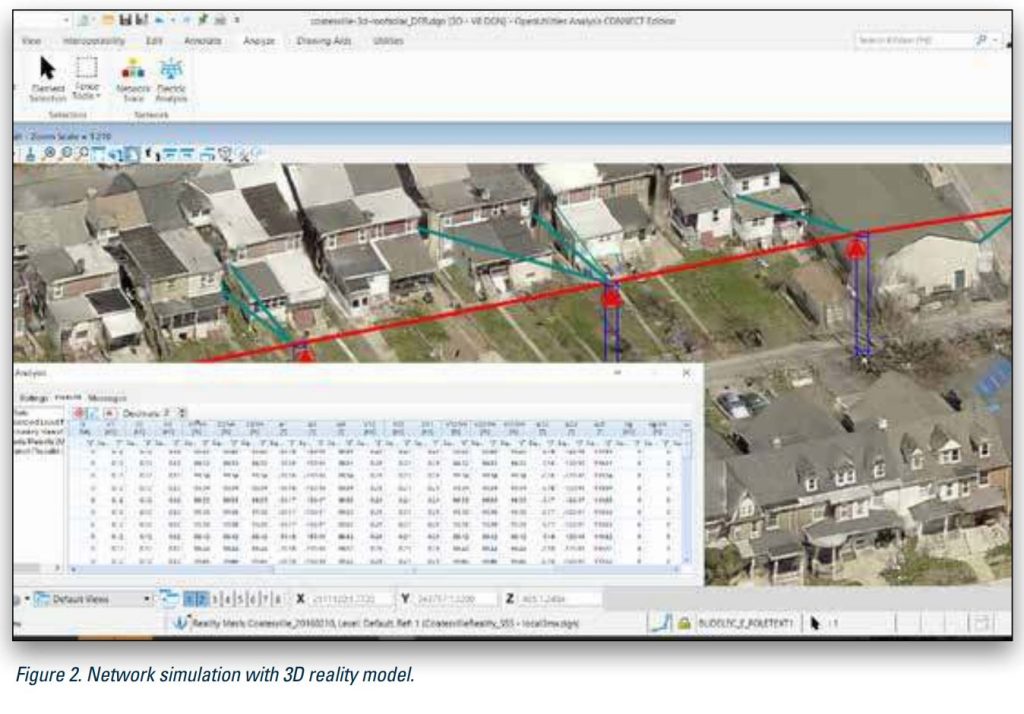
Support for 3D Reality Models:
• Displays reality meshes created by ContextCapture
• Snap, measure, render, and interact with the model
to help improve design
• Edit 3D reality models with MicroStation mesh elements
Reporting
• WYSIWYG plot generation with user-defined templates
and legends
• Publishing to intelligent PDF, PostScript,
and other output formats
• Tabular views and graphical views
Interoperability:
• Support for Bing Maps
MapInfo (TAB, MID/MIF), SHP files, Oracle Spatial and
Graph, CSV, GML, ESRI File Geodatabase, SQL Server
Spatial, and ODBC sources.
• Publish iModels with RDBMS properties
• Web feature service client – read (query) access
utility Software
Contact Us
SOHO Pancoran, South Jakarta
Block Splendor Wing, 28th Floor
Unit S-2803, South Jakarta, 12810