

WHAT IS PLAXIS DESIGNER?
Unlock the potential of your designs with PLAXIS Designer’s user-friendly interface and robust features. Elevate your geotechnical projects with confidence and precision, knowing that PLAXIS Designer is your trusted ally in creating stunning and accurate models for optimal construction and design outcomes.
Reduce Design And Analysis Time
Maximize efficiency and precision in your projects by selecting the perfect software solution. Harness the power of tailored tools for engineered earth structures, construction management, topology analysis, borehole exploration, and water data integration. Streamline your design and analysis processes, saving valuable time and resources while ensuring accuracy at every stage. With specialized features and seamless integration of essential data, propel your projects forward with confidence and clarity. Choose the right software and unlock unparalleled potential for success in your endeavors. From conceptualization to execution, elevate your projects to new heights with the optimal tools at your disposal.
Step into the realm of innovation with PLAXIS Designer—a dynamic tool tailored for geotechnical engineers, seamlessly bridging the gap between raw data and visionary conceptual models. Tackling the intricacies of 3D design, PLAXIS Designer empowers engineers to navigate the complexities of manipulating 3D geometry with ease.
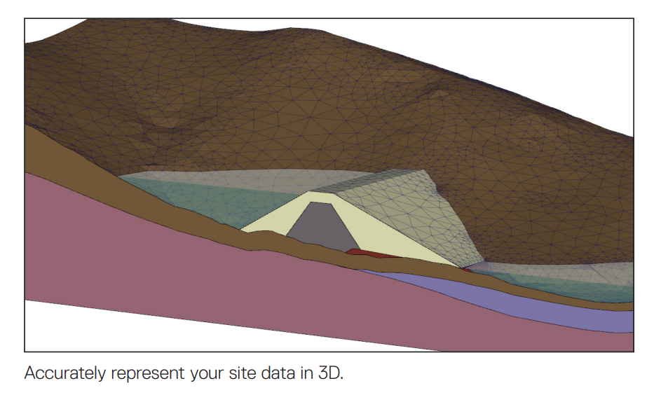
From capturing the nuances of complex geology to refining the design of critical structures like roads, mine pits, and tailing dams, PLAXIS Designer is purpose-built for 3D analysis. It’s where creativity meets functionality, providing a platform where engineers can unleash their imaginations while ensuring precision and accuracy in their designs.
Discover the transformative power of PLAXIS Designer as it revolutionizes the way geotechnical engineers bring their ideas to life. With PLAXIS Designer, the possibilities are endless, and the journey from data to conceptual model is as exhilarating as it is seamless.
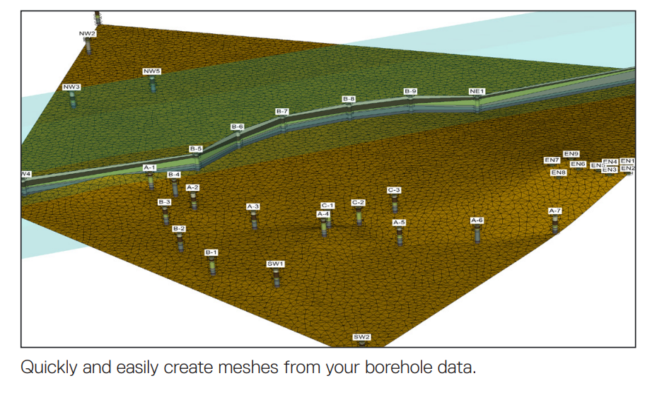
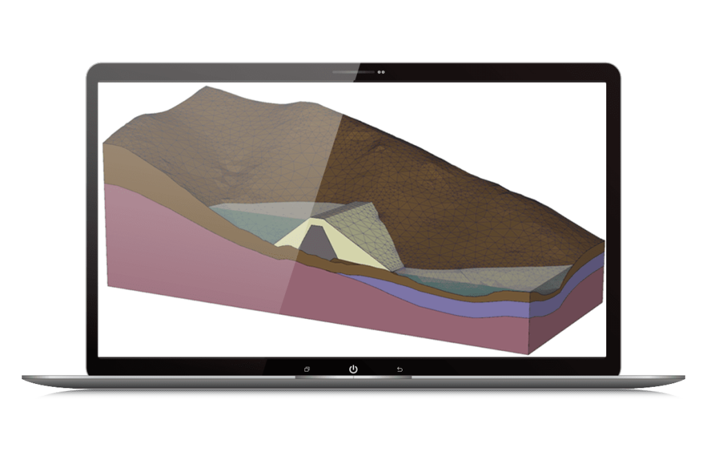
PLAXIS Designer gives you the ability to organize your geotechnical site data and use complex geometry to create conceptual models. The application allows you to overcome the challenge of merging and interpreting your data from various sources. Geology and water conditions can be imported from OpenGround® Cloud boreholes, Leapfrog® geological volumes, sensemetrics® piezometers, meshed topology surfaces, and data from many common file types. 3D geometry can be exported for geotechnical analysis in the form of 2D slices or as full 3D models. PLAXIS Designer reduces overall design and prototyping time and efficiently completes analysis. Your time and expertise are valuable, and you should spend it by finding better solutions through analysis, not by designing geometry.
A rich variety of functionality is implemented into PLAXIS Designer to allow you to edit existing geology or integrate new geotechnical designs with existing topology. Advanced features handle accurate intersections of surfaces, object overlap, pinchouts, and mesh cleanup operations. You can store multiple designs in the same project file. PLAXIS Designer enables you to efficiently handle construction and excavation actions, including:
• Defining a road cut into the side of a hill or the shape of an open pit
• Generating construction sequences by building layers of material to create embankments, earth dams, or user-defined shapes
• Generating a set of slurried depositional surfaces for a userdefined filling scenario
• Calculating volumes of material to aid in construction activities
• Utilizing multiple 3D model-building methodologies, including extrusions, 2D cross-section stitching, 3D layer cake, and material volumes
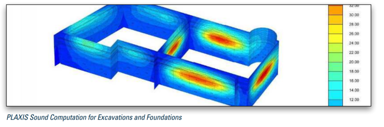
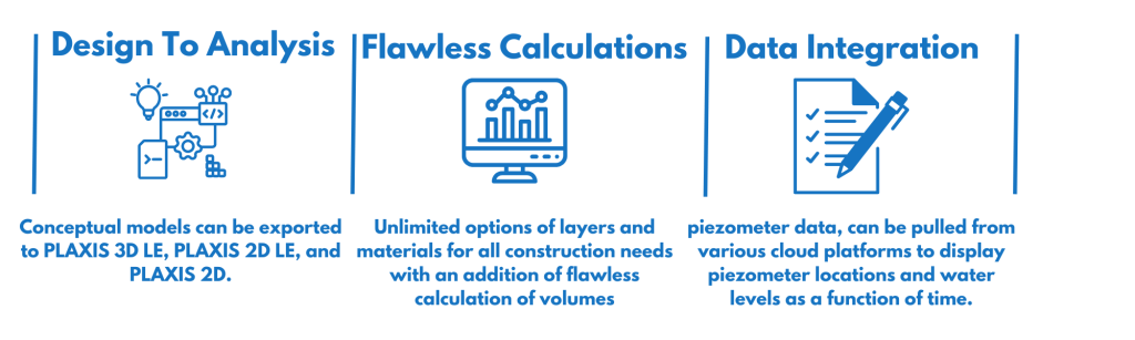
PLAXIS Designer models can be exported to PLAXIS 3D LE, PLAXIS 2D LE, and PLAXIS 2D for geotechnical analysis in the areas of slope stability, stress and deformation, consolidation, and groundwater.
Summary:
- Save modeling time
- Create construction sequences
- Produce visuals for clients
- Perform material volume calculations
- Represent complex 3D surfaces
PLAXIS SOLUTION
Contact Us
SOHO Pancoran, South Jakarta
Block Splendor Wing, 28th Floor
Unit S-2803, South Jakarta, 12810